
UPDATE :Very cold Arctic air to flood down across Ireland this week with snowfall for places

Good evening I hope you all had a pleasant weekend. Here is the latast update on the cold spell of weather which today started to set in but it will be really from Wednesday onwards before we see it turn really cold. As per our forecast on Friday today would mark the real start of the cold spell with the first snowfall of the winter season expected over the mountains in Leinster. Some higher ground areas and mountains indeed did receive some accumulations today.
As we start of the new week next week each day will gradually get colder with temperatures from Wednesday onwards struggling to get above freezing for some places especially on Thursday into the weekend. Met Éireann this afternoon also issued a winter weather advisory for the new week with potential warnings possible for the end of the week. We will most likely see a low temperature warning issued country wide for low temperatures with some areas at the risk of a status orange low temperature warning due to the very cold air and temperature dipping below -5C for a number a night's.

Severe ground frosts are expected from Tuesday night into the weekend with icy stretches and hazardous driving conditions also expected at time through the end of the week and next weekend.
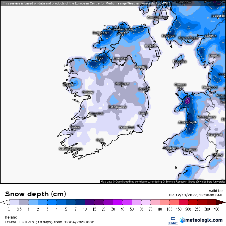
There will be wintry showers in the way of hail, grapple and snow also at times but at this stage where and when gets these showers is uncertain but the most likely places will be Ulster, Connacht and Leinster. Any areas that see snowfall later in the week could also see temperatures by night as low as -6C to -8C due to any accumulations that helps aid colder air temperatures.

I know many of you will be looking at your weather apps over the past few days and you may have noticed they have been swapping and changing. The reason for this is due depending on the weather app you use the base there will forecast on one weather model. With Donegal Weather Channel we look at all forecasting models and sum up the potential impacts. Just to note also for our followers some of these weather model run 4 times a day so therefore your app may update to a different outlook 4 times a day. Snowfall in Ireland can be hard to predict and at best it's up to 48 hours before we can have a idea on snowfall forecasts and accumulations and sometimes it can be a now cast situation due to the amount of dynamics that need to fall into place for a snow flake to remain a snowflake as it falls from the cloud to the ground. Some times when we see ground level air temperatures milder than the temperatures higher above in the atmosphere the precipitation may start to fall as snow but once it reaches the ground it turns to sleet rain or hail.
Some of the forecast models show the potential for this cold spell to be longer than just your normal 2 or 3 day cold spell we normally see during winter. Some models continue to this spell of weather into the 3rd week of December closer to Christmas but at the moment again this is uncertain. If we do keep the cold locked in that long then it's going to potentially get even colder. Many say its winter which is true but in this country we aren't build to deal with such sustained spells of cold weather.
And to answer people's questions on snowfall yes there is a risk if this cold spell is a prolonged one then there is a risk of significant falls of snow for places but at this stage that's something we can't say for sure due to the uncertainty. One example which could cause a big fall of snow is low system pressure moving up from the south bumping into that cold air over Ireland with precipitation falling as snow with big rates over a short period of time.
Some parts of Ulster and Connacht will start to see wintry showery from Wednesday night onwards with the potential for more organised band of wintry showers and moving down across the country on Thursday but we will no more detail on this most likely Tuesday into Wednesday.
There will also be a very raw windchill factor at the end of next week of around -3C to -8C so wrap up if your out and about.
I will continue to bring you updates each day over the week. Please do note that the forecast will be complex and details will change each day over the week.
Kenneth from the Donegal Weather Channel
LATEST NEWS


