
Increasing risk of very cold weather from next week for Ireland
Donegal Weather Channel has decided to give another update on the increasing risk of cold weather next week to keep you our followers up to date on the latest model runs today. Today overall has been another very interesting day on model runs with all in favour for a cold spell of weather arriving from Sunday with winds turning easterly but they do show it turning even colder during the middle of next week which is now only 5 to 6 days away.
This is also now been closey watched by Met Éireann and the UK Met Office due to the risks of it developing into a longer and colder spell of weather later next week and into next weekend and possibly beyond.

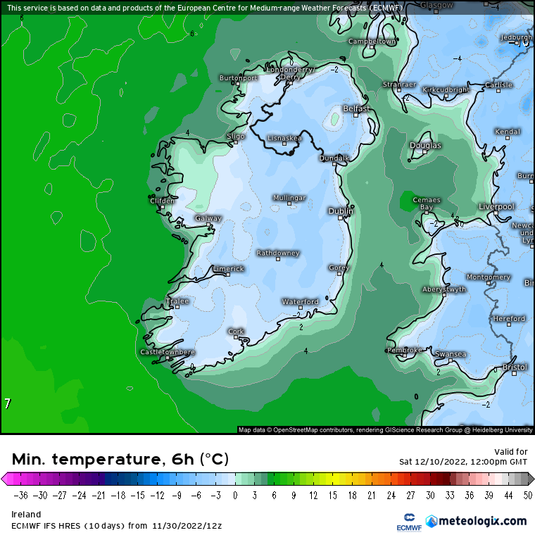
The Ecmwf (European weather model) today on the morning 00z run and this evenings 12Z run shows very cold weather setting in around the middle of next week with some places struggling to get over 0C during day time hours.

The GFS model which was showing a milder solution last night now has also started showing colder conditions next week also which is very strong signs of some sort of colder spell on the way next week. With the NAO also expected to go Negative this also tells something colder is possible.
A blocking high in the Atlantic and over Greenland will cut of the normal westerly flow with the airflow and winds this time next week expected to come from the north and northeast.
In relation to snowfall yes it is possible in this set up especially for western, northern and eastern parts of Ireland with snowfall coming in the way of sea streamers showers with the warmer sea temperature leading to warm moist air rising into the cold upper air temperature and falling as snow as it moves overland. Sometimes these showers can fall as grapple, sleet, hail or cold rain along coastal edges if the upper air temperature are not cold enough but its very early yet to be looking at snowfall forecasts as that cold needs to get in to even look at that situation. Another solution you could get closer to the time is a polar low moving southwards.
I will further updates over the coming days as I watch this closely.
Kenneth from the Donegal Weather Channel
LATEST NEWS


