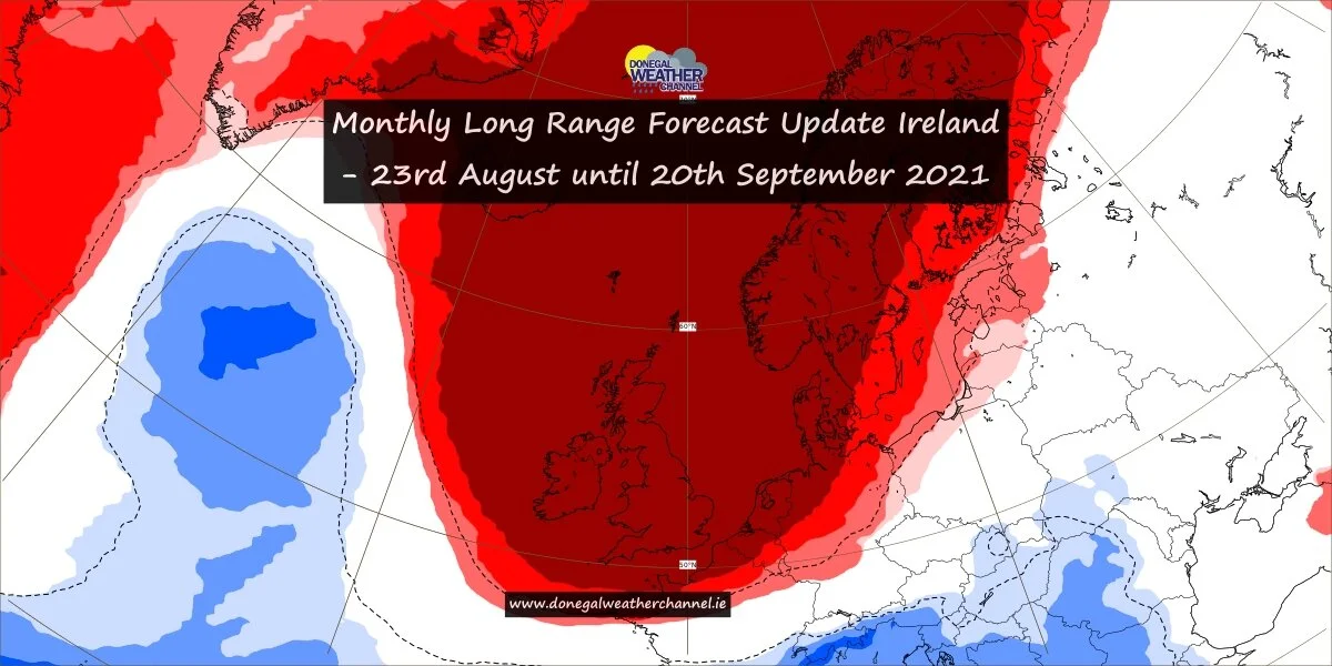
Ireland looks set for much warmer weather next with temperatures climbing into the mid 20s
Ireland is still on course for much warmer weather heading into the end of next week with next weekend looking rather warm also with the latest signals showing a better chance of Sunshine also across the country.
In the Donegal Weather Channels Monthly forecasts over the last few weeks which are issued weekly we talked about some of the longer range models hinting at a drier and warmer spell of weather around the 2nd week of June.
We are currently seen strong indications that it will turn much warmer at some stage over the end of next week and next weekend but at this point its about when this will happen.
This evenings latest GFS model run which is the American global forecasting model turns the weather much drier from next Thursday and Friday the 10th and 11th of June as a Azores high pressure system builds from the southwest. The Azores high is part of a belt of sub-tropical anticyclones in the northern hemisphere, other notable features from this belt include the Bermuda high and California high, and refers to an area over or close to the Azores Islands where there is relatively consistent high pressure and subsiding air over the Atlantic Ocean. In summer the movement of the Azores high affects not only the Irish weather but also much of the UK & Europe, particularly during the mid-late summer when a ridge extending from the Azores can build north-eastwards across France and Germany.
The Chart below is from the GFS model which shows the high pressure system extending up across Ireland and the UK
Some showers across Ireland on Saturday morning
The Gfs model this evening is showing temperatures climbing into the low to mid 20s come the end end of next week and over next weekend as that warmer air feeds up from the southwest from the Azores. Below you will find the temperatures forecast by the GFS from Thursday to Sunday next week.
THURSDAY 10/06/21
FRIDAY 11/06/21
SATURDAY 12/06/21
SUNDAY 13/06/21
With such a set up there also may come the risk of Thunderstorms near the end of next week and over next weekend.
Below we will look at the ECMWF outlook for later next week and next weekend
The Ecmwf model which is the European forecasting model also has a Azores high pressure system building from the southwest moving up across Ireland and the UK and later over the whole of Western Europe but it doesn’t bring a big rise in temperatures until next weekend and early into the following week.
The below image shows the high pressures system moving up from the Azores heading on its holidays to Ireland which would be most welcomed.
Azores high pressure building into western Europe next weekend
Out of all the model runs the ECMWF model really is what I would describe as eye candy as it brings the high pressure system right up over the whole of western Europe with the center of the high stationed right over Ireland and the UK pumping up heat from the Azores and indeed Africa. The below image shows the high pressure system sitting across Ireland and the UK Monday he 14th of June.
The Ecmwf model a show temperatures next week rising into the low to mid 20s next weekend and the into the mid to high 20s into the following week bringing the possible risk of heat wave conditions for some parts of Ireland and the UK but this is to early to say yet so don't go thinking there's a heatwave coming it just a output from the model and its to far out yet to confirm.
Below is a example of the temperatures the ECMWF model is forecasting Next weekend into the following week.
SATURDAY 12/06/21
SUNDAY 13/06/21
MONDAY 14/06/21
TUESDAY 15/06/21
With such heat this would also open the door to a very thundery breakdown at some point with severe thunderstorms but at this range from Monday the 14th is a bit far out and this is just a example of what this Morning European forecast model was showing.
The 12z Ecmwf model run still has to come in this evening and as I write this. So it will be interesting to see if it brings the Azores High pressure in a bit sooner maybe at the end of next week which the GFS shows this evening. I think personally we will see some sort of warm spell by next weekend but at this stage its trying to nail down how warm and if that Azores high can power into western Europe and sit for a number of days like the ECMEF model shows. As I said above I would favor the ECMWF model run output rather than the GFS which try’s to bring in the heat over the end of next week and next weekend but breaks it down early the following week as a low pressure system move across the Atlantic. The ECMWF model is the warmest and even at this stage I would say hottest of both models. I will have another update on Sunday when I hope I can bring you a little more news on this


