Part 2 - Storm Dennis to bring stronger winds today across Ireland with the risk of Coastal flooding
Storm Dennis and a area of low pressure to its west yesterday have merged together and now Storm Dennis will gradually fill and weaken as it tracks south-eastward towards Ireland today bringing squally showers with a risk of thunder. A widespread Status Yellow wind warning is has been issued with a Orange level warning for 9 countries which include Donegal, Leitrim, Sligo, Mayo, Galway, Clare, Limerick, Kerry & Cork (especially in the vicinity of squally showers along Atlantic coasts) can be expected.
Even with Storm Dennis gradually filling and weakening as it track southeastward towards Ireland with will still bring strong winds for many especially for Atlantic coastal counties under that status Orange wind warning.
Continues below
The strongest winds will come on later Sunday morning/ afternoon and for a time over the evening as Storm Dennis tracks west to east across northern Scotland.
During this period the strongest winds will occur
There will be a higher risk of Thunderstorms throughout Sunday with the risk of heavy rain and hail showers leading to further flooding in place with the possibility of some power cuts due to strong winds and thunderstorms. For squall lines are also possible over today some which will be intense at time a intense squall line which is a narrow band of high winds, heavy rain/hail and thunderstorms
Continues below
Gardaí and the Road Safety Authority are urging road users to be extra cautious, and to be aware of potential floods and fallen debris.
Meanwhile the Irish Coast Guard is appealing for people to stay away from exposed beaches, cliffs and piers.
The ESB says it will have crews on standby to respond to any power outages.
Continues below
Coastal Conditions
Coastal Flooding
We are entering into a period of transition between Spring (High) Tides and Neap (Low) Tides. This means there will not be a large variation between high and low tides. The combination of high seas and strong winds or stormy conditions, may increase the possibility of coastal flooding especially along western and southern coasts Saturday and Sunday coinciding with high tides.
OPW have issued a High Tide Advisory for the weekend.
A period of very high storm surge is associated with Storm Dennis which may result in sea levels approaching or exceeding Highest Astronomical Tide (HAT) in the coastal areas shown below from tomorrow afternoon, Saturday 15 until Monday morning 17 February 2020.
Whilst storm surge levels are currently relatively low in all coastal areas, they are predicted to increase significantly as follows, from today until Monday morning, in the coastal areas shown below:
1.00m at Lough Swilly
0.80m at Donegal Bay
0.70m at Sligo
0.65m at Killala
0.70m at Clew Bay
0.55m at Roundstone
0.80m at Galway Bay
0.55m at Shannon Estuary
0.70m at Arklow
0.75m at Wicklow
0.80m at Dublin Bay
0.80m at Drogheda
0.80m at Dundalk Bay
As these forecasts of storm surge may change, OPW advise all local authorities to monitor surge and sea level forecasts closely throughout this notice period (from Saturday 15 to Monday 17 February).
Elevated river levels
Currently river levels are elevated across the country, particularly in the midlands, west and south, so any heavy rainfall would cause issues
NDFEM request that all local authority Severe Weather Assessment Teams monitor weather conditions throughout the weekend and consider activating crisis management and Local Co-ordination arrangements, if required.
NDFEM will continue to monitor weather conditions throughout the weekend with Met Éireann and OPW. We would request that you would contact us should any significant flooding incidents occur in your area over the weekend.
Click on the tabs below to view the new forecasts available under the forecast section.
2019 CALENDAR NOW ON SALE
2019 Calendar now on sale
You can now purchase the Donegal Weather Channel Calendar 2019. You can purchase the Calendar from the online store
All calendars will be posted out in the middle of November with only a limited amount available. Calendars can be purchased anywhere across the world.
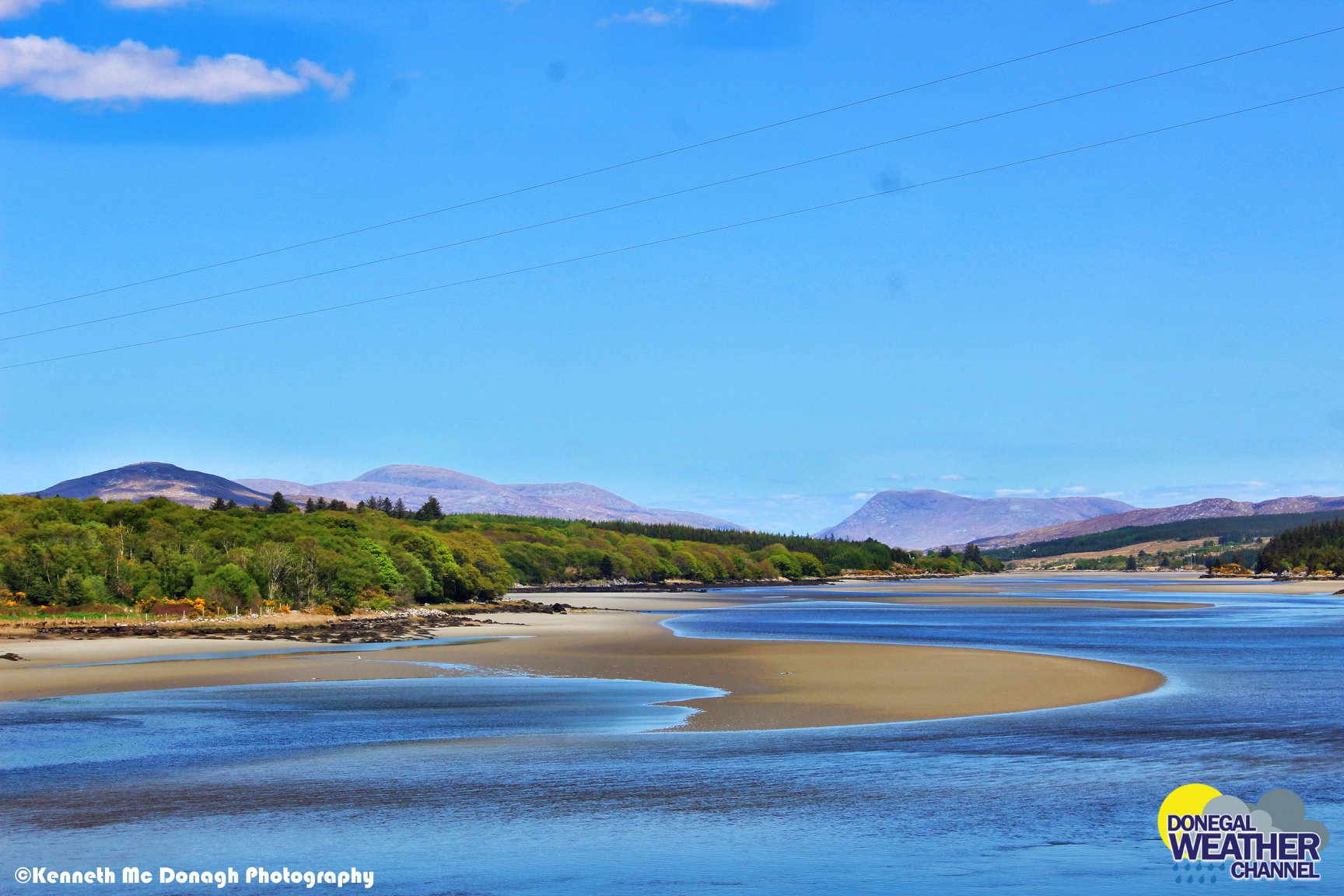
The stunning Leitir Mhic An Bhaird (Lettermacaward) Donegal during May 2018
Vivid Rainbow from up on Breezy mountain South Donegal
I was in Albufeira Portugal I was waiting for the full moon to come up and it did not let me down.
The orange and red tints that the Moon sometimes take on rising and setting are caused by the particles in the Earth's atmosphere. When light (or more specifically, packets of light called photons) from an astronomical object passes through the Earth's atmosphere, it scatters off of particles in the latter.
What a unbelievable night and morning out storm chasing, These number of thunderstorms had to be the best in years as most of the lightning was CG bolts. I even manage to captures Two to three CG bolts in one shot.
One of the most beautiful views of Slieve league From sea and got some nice photos.
Photos from this angle I have not seen yet and it was wonderful to finally capture that moment.


