
Weather update - rain and drizzle tonight for the west, northwest and north with the slight risk of thunderstorms on Wednesday

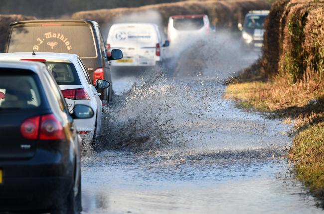
Overnight rain and drizzle will move into western and northwestern areas moving eastwards over the rest of Ulster on Thursday morning. already across parts of Donegal and Derry this afternoon there has been heavy falls of rain in parts with spot flooding and that rain will continue over the course of this evening.
Much of the rain has been confined to Northern and central parts of Donegal with up to 5mm to 10mm already falling in places this afternoon. The latest radar below shows the rain over northern parts of the Donegal and Derry with mostly dry weather for most of the day across south Donegal.
CONTINUES BELOW

On Tuesday night and Wednesday morning a further 5mm to 10mm will fall in parts of the west, northwest and north with the risk of spot flooding so be cautious if you are taken to the roads over the coming hours and give yourself plenty of space when travelling behind other vehicles. There is a risk that the rain will turn heavy for a time across parts of the northwest.
Across the Munster, the Midlands and much of Leinster it will stay dry overnight but on Thursday morning there could be some rain in North Leinster.
CONTINUES BELOW


Once the rain passes on Wednesday morning it will be followed by showers some which will be slow moving and could be thundery & heavy in parts northern and eastern areas of Ireland.
Sudden downpours may be possible with the risk of spot flooding. The main risk will be the northeast of Ireland on Wednesday late afternoon and evening.
I will update again on Wednesday morning on the risk when thinks are a little clearer.


2019 CALENDAR NOW ON SALE


2019 Calendar now on sale
You can now purchase the Donegal Weather Channel Calendar 2019. You can purchase the Calendar from the online store
All calendars will be posted out in the middle of November with only a limited amount available. Calendars can be purchased anywhere across the world.


The stunning Leitir Mhic An Bhaird (Lettermacaward) Donegal during May 2018

Vivid Rainbow from up on Breezy mountain South Donegal


I was in Albufeira Portugal I was waiting for the full moon to come up and it did not let me down.
The orange and red tints that the Moon sometimes take on rising and setting are caused by the particles in the Earth's atmosphere. When light (or more specifically, packets of light called photons) from an astronomical object passes through the Earth's atmosphere, it scatters off of particles in the latter.

What a unbelievable night and morning out storm chasing, These number of thunderstorms had to be the best in years as most of the lightning was CG bolts. I even manage to captures Two to three CG bolts in one shot.

One of the most beautiful views of Slieve league From sea and got some nice photos.
Photos from this angle I have not seen yet and it was wonderful to finally capture that moment.


