
VIDEO - Snow in Letterkenny and across parts of Donegal's has led to vehicles getting stuck

Heavy snow has led to poor road conditions this afternoon across Letterkenny. Photo from Mountain top. Photo by Amy Prendergas
As Donegal Weather Channel warned over the last week that showers from Friday would turn increasingly to snow across the north and northwest on Friday as the coldest of the air started to flood down across Ireland to end this week and stay with us over the weekend.

Snow has been falling on and off across parts of Donegal since the later stages of the morning with Letterkenny one of the hardest hit areas with between 1cm to 3cm accumulating on Mountain top on the higher parts Letterkenny.
Around parts of Gweedore there also has been falls of sleet and wet snow which has left slushy deposits as a band of rain, hail sleet and snow extended southeastwards across the northwest region

MOUNTAIN TOP LETTERKENNY THIS AFTERNOON photo by Emma Coyle

Snow and icy conditions also been reported around the back of Errigal and on the road to Gweedore.
Snow has also been reported in Drumkeen with accumulations there also leading to very poor road conditions

Snowfall in Drumkeen this afternoon

VIDEO OF MOUNTAIN TOP, LETTEKENNY AT A STAND STILL DUE TO SNOW
VIDEO OF MOUNTAIN TOP, LETTEKENNY AT A STAND STILL DUE TO SNOW

Heavy snow has led to poor road conditions this afternoon across Letterkenny. Photo from Mountain top. Photo by Amy Prendergas
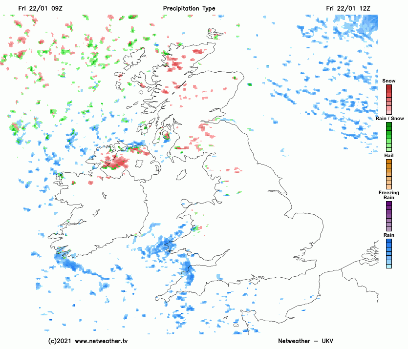
The animation below shows showers continuing over the rest of today, tonight and on Saturday morning with roads conditions becoming even more hazardous from these evening as showers turn increasingly to snow and temperatures drop further across the rest of the northwest of Ireland with falls of snow expected across Mayo, Sligo, Leitrim , Roscommon as well as Donegal and the rest of Northern Ireland leading to accumulations before sunrise Saturday morning
The below animations shows snow accumulations across the northwest region by Saturday morning and more widespread accumulations by Sunday morning across the whole of Ireland,

A status yellow snow/ice warning is in places until 12 midday Saturday for Cavan, Monaghan, Donegal, Leitrim, Mayo, Roscommon, Sligo, Antrim, Armagh, Down, Fermanagh, Tyrone, Derry. CLICK HERE FOR THE LATEST WARNINGS
Kenneth from the Donegal Weather Channel
You can find all the latest weather warnings and forecasts by downloading our app from the google play store by clicking below

LATEST NEWS


