
Turning colder over the rest of the week with hill snow and temperatures as low as -3C with frost and ice


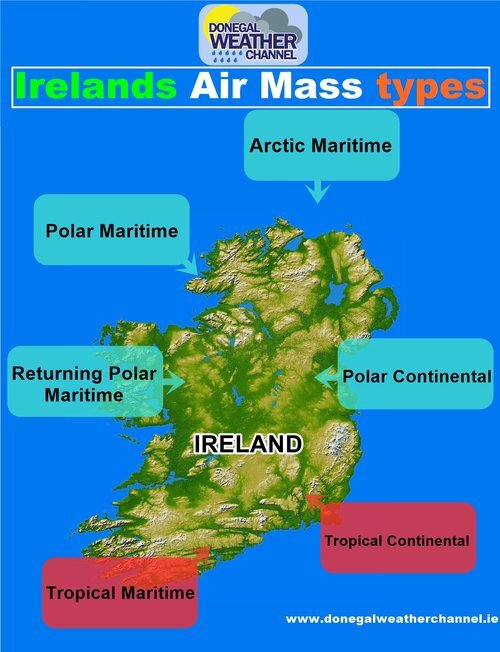
In what has been a cold start to November compared to a rather mild and wet October temperatures across Ireland will stay cold over the rest of this week and into this weekend. This is due to a northerly airflow and Arctic air mass which can bee seen below on the chart.
Looking at the latest from the jet stream we see it is to the south of Ireland not to far away allowing that colder air to effect the both Ireland and the UK over the rest of the week into this weekend. In the chart below you will see where the jet stream is located between the Blues and Greens on the chart.
The green and yellows on the chart is warmer air and the Blues are colder air with the Jet stream in between.

Below we look at the forecast over the week and weekend and what we have in store.
continues below


WEDNESDAY
Starting of with Wednesday a spell of thundery rain will move in from the Atlantic just after dawn moving west to east across Ireland over the morning and afternoon with some spot flooding possible on roads, There is a risk that this rain will turn to sleet in places for a time with possible snow over higher ground and the mountains as the band of precipitation moves eastwards. Over the evening as this rain and sleet moves into the east the front will stall over Leinster and Munster with a mix of rain, sleet and possible wet snow for a time as temperatures drop over the evening and night. There is the small chance of limited and temporary accumulations for some lower level areas of parts of Leinster and Munster. Over the hills and mountains of Munster and Leinster this will fall mainly as snow particularly around Sally’s gap in Wicklow. That band of precipitation will clear to the south of Ireland after midnight Wednesday.
The main accumulations of snow will occur on ground above 500 meters above sea level.
Over Ulster some areas will not see that much rain or sleet on Wednesday with the highest totals over the east and south of Ireland.
Day time temperatures on Wednesday will only range between 4C to 7C in northerly breezes. Turning cold with frost and icy patches also overnight as that band of rain then clears to the south. Temperatures overnight will range between -1C to 2C.

Donegal Weather Channel 2020 Calendar
A selection of photos by Donegal Weather Channel over the last year in different locations through out Ireland, during different weather conditions and sky events to capture the best images for you.
Thursday
Thursday will be a better day across Ireland with good bright and sunny spells for many parts but it will be cold with northerly breezes again. Some showers will occur across northern, and western coastal areas over the day with some of hail. Temperatures on Thursday will range between 5C to 8C.
It will turn cold again on Thursday night with temperature between -2C to 2C with the risk of frost and icy stretches on roads. Some showers will occur across the north and northwest with a increase risk of ice on roads.
Friday
Friday looks set to be the best day of the week with good bright and sunny spells nationwide with little showers if any occurring any showers if any would be across northern and southeastern coastal areas. Cold again on Friday with northerly breezes and temperatures between 6C to 9C'.
Friday night will turn very cold with temperatures dropping as low as -3C and possibly as low as -4C with highs of around 0C to 1C in one or two spots with a widespread sharp to severe frost developing. Some ice could develop on any wet roads. Some mist and fog also overnight
Weekend
Saturday
At present Saturday looks set to start of dry with any mist and fog clearing. On Saturday afternoon and night another spells of rain and sleet looks set to cross Ireland with the risk of snow over higher ground and the mountains.
Sunday
Sunday will see a mixture of showers but some good bright and sunny spells also. Overnight looks set be cold on Sunday with another sharp ground frost.
At present the early days of next week looks set remain cold but hints that it will become a little warmer over the second half next week with the unsettled weather continuing.
Kenneth from the Donegal Weather Channel


Kenneth from the Donegal Weather Channel.
Click on the tabs below to view the new forecasts available under the forecast section.


2019 CALENDAR NOW ON SALE


2019 Calendar now on sale
You can now purchase the Donegal Weather Channel Calendar 2019. You can purchase the Calendar from the online store
All calendars will be posted out in the middle of November with only a limited amount available. Calendars can be purchased anywhere across the world.


The stunning Leitir Mhic An Bhaird (Lettermacaward) Donegal during May 2018

Vivid Rainbow from up on Breezy mountain South Donegal

I was in Albufeira Portugal I was waiting for the full moon to come up and it did not let me down.
The orange and red tints that the Moon sometimes take on rising and setting are caused by the particles in the Earth's atmosphere. When light (or more specifically, packets of light called photons) from an astronomical object passes through the Earth's atmosphere, it scatters off of particles in the latter.

What a unbelievable night and morning out storm chasing, These number of thunderstorms had to be the best in years as most of the lightning was CG bolts. I even manage to captures Two to three CG bolts in one shot.

One of the most beautiful views of Slieve league From sea and got some nice photos.
Photos from this angle I have not seen yet and it was wonderful to finally capture that moment.


Donegal Weather Channel 2023 Calendar
A selection of photos by Donegal Weather Channel over the last year in different locations through out Ireland, during different weather conditions and sky events to capture the best images for you. You can now pre order your Calendar 2023 which will be available for postage by the end of November 2023. Work wide postage available.
By buying a Calendar you are help fund and secure the future of Donegal Weather for another year.
Kind Regards
Kenneth