Latest from the Emergency Co-ordination Group this morning - 80mm to 100mm of rain could fall over Mayo, Galway and Donegal
A status orange wind warning has been issued for six counties and a status yellow warning nationwide between tomorrow evening and Friday morning, when Storm Lorenzo is expected to make landfall in Ireland.
The orange warning for Galway, Mayo, Clare, Cork, Kerry and Limerick will be in place from 6pm on Thursday to 3am on Friday morning.
Met Éireann said southwesterly winds veering westerly will reach mean speeds 65 to 80km/h, with gusts generally of 100 to 130km/h, higher in coastal regions.
Storm surges will produce coastal flooding and damage, it said.
Meanwhile, two status yellow warnings were issued nationwide to come into effect during the storm. A yellow wind warning will be in place from 9am tomorrow until 6am on Friday morning.
And a yellow rainfall warning for Ireland will be in place between 9am tomorrow and 9am on Friday. Met Éireann said spells of heavy rain, in excess of 50mm in parts of the west and north west, will result in flooding.
A meeting of the National Emergency Co-ordination Group to discuss nationwide preparations for the expected arrival of the storm is taking place in Dublin this morning.
Minister for Housing, Planning, and Local Government Eoghan Murphy said he is very concerned about the potential impact of the storm in coastal areas and the damage that could be done by falling trees.
He said the Emergency Co-ordination Group will be issuing very strong safety advice to the public following this morning's meeting once Met Éireann has given an update on the progress of Hurricane Lorenzo, which passed over the Azores last night.
Lorenzo - the most northerly and most easterly large hurricane ever to form over the Atlantic Ocean - is now headed straight for Ireland.
CONTINUES BELOW
Evelyn Cusack says the ground is saturated and trees are in full leaf, so there is higher impact at this time of year than in a January storm with the same amount of wind.
Cusack says there’s likely to be flooding in coastal regions. Urges people to listen to advice of local authorities.
Cusack says the ground is completely saturated at the moment so status yellow wind warnings will have fairly high impact.
Evelyn Cusack speaks of flooding of rivers and overland, and of some severe impact, touching status red impact, along the Cork, Kerry and right up the Atlantic coast.
Evelyn Cusack says there will be trees down and flooding likely anywhere tomorrow
Cusack says there could be some very high amounts of rainfall, with close to 80-100mm in the mountain regions of Mayo, perhaps Galway and Donegal.
'There will be some disruptive impacts during tomorrow afternoon, evening, tomorrow night and Friday morning ... and in places destructive, particularly in those Atlantic coastal areas, and perhaps some localised flooding really over any part of the country'
Donegal Weather Channel 2020 Calendar
A selection of photos by Donegal Weather Channel over the last year in different locations through out Ireland, during different weather conditions and sky events to capture the best images for you.
Further weather warnings could well be updated again later Thursday evening or night and on Thursday morning when a better understanding of Storm Lorenzo is known. The public should stay tuned into further updates and forecast over the coming 48 hours.
For the latest weather warning click the tab below
Kenneth from the Donegal Weather Channel
Kenneth from the Donegal Weather Channel.
Click on the tabs below to view the new forecasts available under the forecast section.
2019 CALENDAR NOW ON SALE
2019 Calendar now on sale
You can now purchase the Donegal Weather Channel Calendar 2019. You can purchase the Calendar from the online store
All calendars will be posted out in the middle of November with only a limited amount available. Calendars can be purchased anywhere across the world.
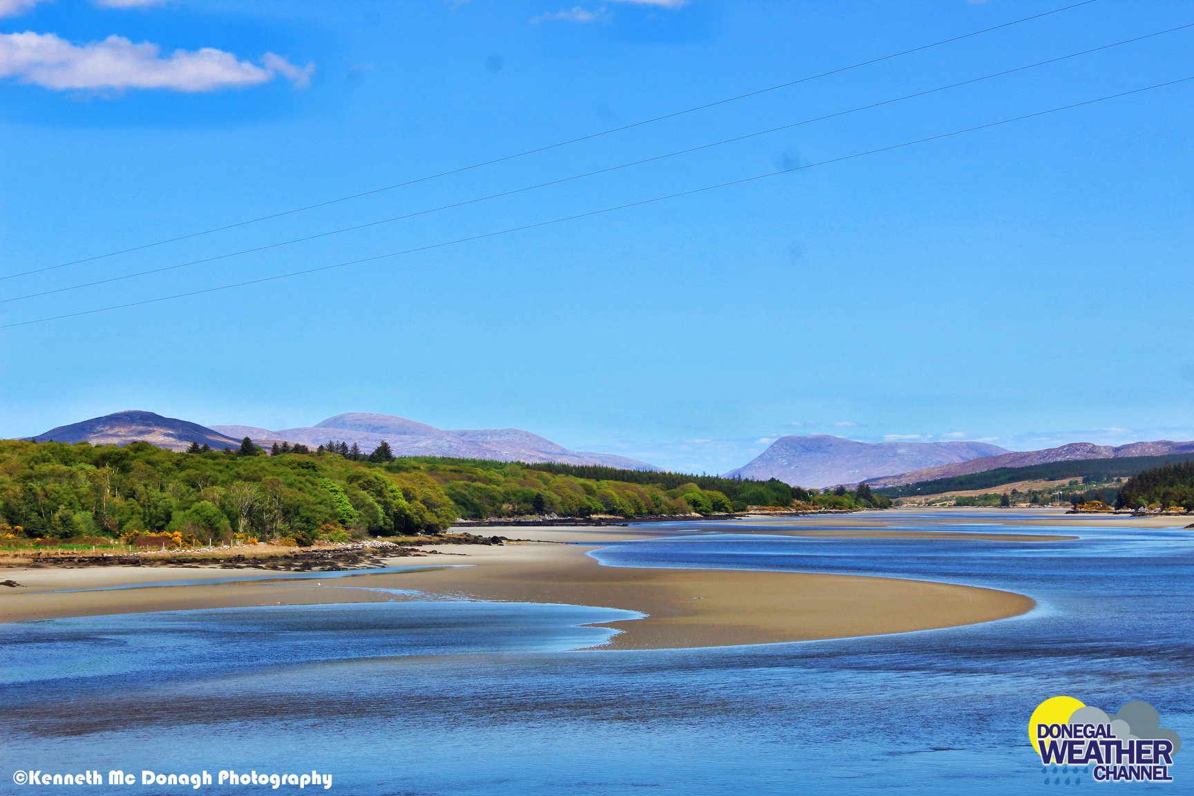
The stunning Leitir Mhic An Bhaird (Lettermacaward) Donegal during May 2018
Vivid Rainbow from up on Breezy mountain South Donegal
I was in Albufeira Portugal I was waiting for the full moon to come up and it did not let me down.
The orange and red tints that the Moon sometimes take on rising and setting are caused by the particles in the Earth's atmosphere. When light (or more specifically, packets of light called photons) from an astronomical object passes through the Earth's atmosphere, it scatters off of particles in the latter.
What a unbelievable night and morning out storm chasing, These number of thunderstorms had to be the best in years as most of the lightning was CG bolts. I even manage to captures Two to three CG bolts in one shot.
One of the most beautiful views of Slieve league From sea and got some nice photos.
Photos from this angle I have not seen yet and it was wonderful to finally capture that moment.


Donegal Weather Channel 2023 Calendar
A selection of photos by Donegal Weather Channel over the last year in different locations through out Ireland, during different weather conditions and sky events to capture the best images for you. You can now pre order your Calendar 2023 which will be available for postage by the end of November 2023. Work wide postage available.
By buying a Calendar you are help fund and secure the future of Donegal Weather for another year.
Kind Regards
Kenneth