
Higher risk of snow overnight into Tuesday morning especially across the west, northwest and west of Ireland


In what has been a very unsettled day across Ireland with all types of weather rain, sleet, hail, snow, strong winds, thunder and lighting and even some sunshine.
This morning and over the afternoon parts of Munster and south Leinster seen a small band of rain passing west to east across the south of Ireland which turned to snow for a few places on lower levels and over Higher ground areas with Sally’s gap in Wicklow reported to be impassable this evening.
Continues below


Overnight as temperatures drop and particularly after midnight heavy further heavy showers will push in from the Atlantic with hail and sleet turning increasingly to snow across the west, northwest and north on Tuesday leading to accumulations on both higher ground and lower ground.
In the Donegal Weather Channel forecast over the past few day is did warn that the higher risk of snow would be Monday night into Tuesday morning.
Some lower level areas across the west, northwest and north could see accumulations between 1cm to 5cm particularly inland away from the coast but not all areas will see snow with some areas seen sleet and hail.
Higher ground areas and mountains across the west, northwest and north could see accumulations between 5cm to 10cm with blizzard type conditions with snow drifts with strong winds.
By Tuesday morning there will be the risk of icy roads and very poor road conditions in places
Overnight with these showers there will also be the ongoing risk of thunderstorm activity which could lead to power outages in some places.

Status Yellow - Wind warning for Donegal, Galway, Leitrim, Mayo, Sligo, Clare and Kerry
Strong westerly winds continuing with mean speeds of 50 to 65km/h and gusts to 110km/h, highest in coastal areas.
A combination of Spring Tides and high seas will result in a risk of coastal flooding, especially around high tide.
Valid: 20:00 Monday 10/02/2020 to 20:00 Tuesday 11/02/2020
Issued: 11:00 Monday 10/02/2020
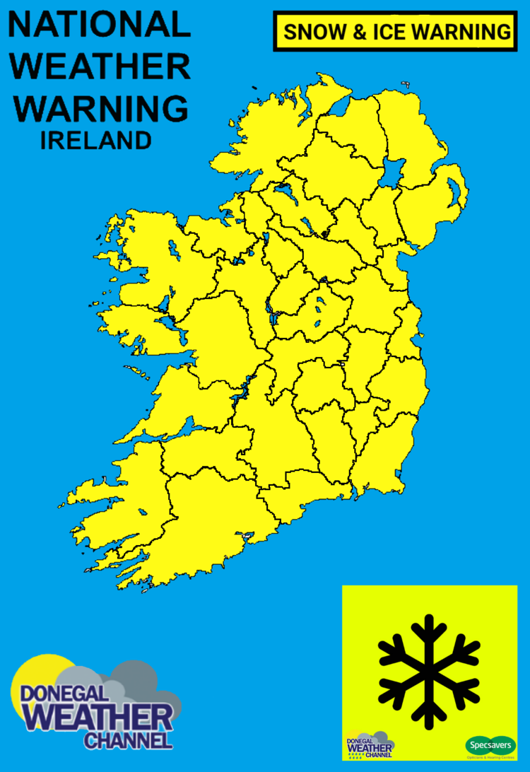
Status Yellow - Snow/Ice warning for Ireland
Widespread wintry showers on Monday and Tuesday with some snowfall accumulations, especially in the west and north. Some disruption to travel is possible, particularly over higher routes.
Valid: 00:01 Monday 10/02/2020 to 23:59 Tuesday 11/02/2020
Issued: 12:00 Sunday 09/02/2020


Click on the tabs below to view the new forecasts available under the forecast section.
2019 CALENDAR NOW ON SALE


2019 Calendar now on sale
You can now purchase the Donegal Weather Channel Calendar 2019. You can purchase the Calendar from the online store
All calendars will be posted out in the middle of November with only a limited amount available. Calendars can be purchased anywhere across the world.


The stunning Leitir Mhic An Bhaird (Lettermacaward) Donegal during May 2018

Vivid Rainbow from up on Breezy mountain South Donegal

I was in Albufeira Portugal I was waiting for the full moon to come up and it did not let me down.
The orange and red tints that the Moon sometimes take on rising and setting are caused by the particles in the Earth's atmosphere. When light (or more specifically, packets of light called photons) from an astronomical object passes through the Earth's atmosphere, it scatters off of particles in the latter.

What a unbelievable night and morning out storm chasing, These number of thunderstorms had to be the best in years as most of the lightning was CG bolts. I even manage to captures Two to three CG bolts in one shot.

One of the most beautiful views of Slieve league From sea and got some nice photos.
Photos from this angle I have not seen yet and it was wonderful to finally capture that moment.