
Turning very cold nationwide tonight with temperature as low as -7C in places

A band of snow has now cleared to the east this afternoon with many areas overnight and this morning receiving fresh snowfall with Connacht, Leinster and Ulster receiving some snow accumulations.
This morning south and southeast Ulster received up to 3cm to 8cm with a couple of hours of snowfall there

It will remain rather cold over the rest of this afternoon with temperature in some areas still below freezing across parts of Ulster and Leinster due to snow cover with lows of 0C. Latest temperatures attached below for 4:30pm


Overnight it will turn very cold across the whole country with temperatures of -2C to -5C but across some parts of locally inland with snow cover could drop as low as -6C to -7C.
Very icy conditions will develop nationwide with a widespread sharp to severe frost. Temperature forecast attached below

Snow accumulations by 12 midday Sunday

FREEZING FOG
Freezing fog is also expected across many areas tonight adding to the risk of icy roads with low visibility for some. Below chart show the risk of fog

SUNDAY NIGHT & MONDAY MORNING LOW TEMPERATURE/ICE WARNING
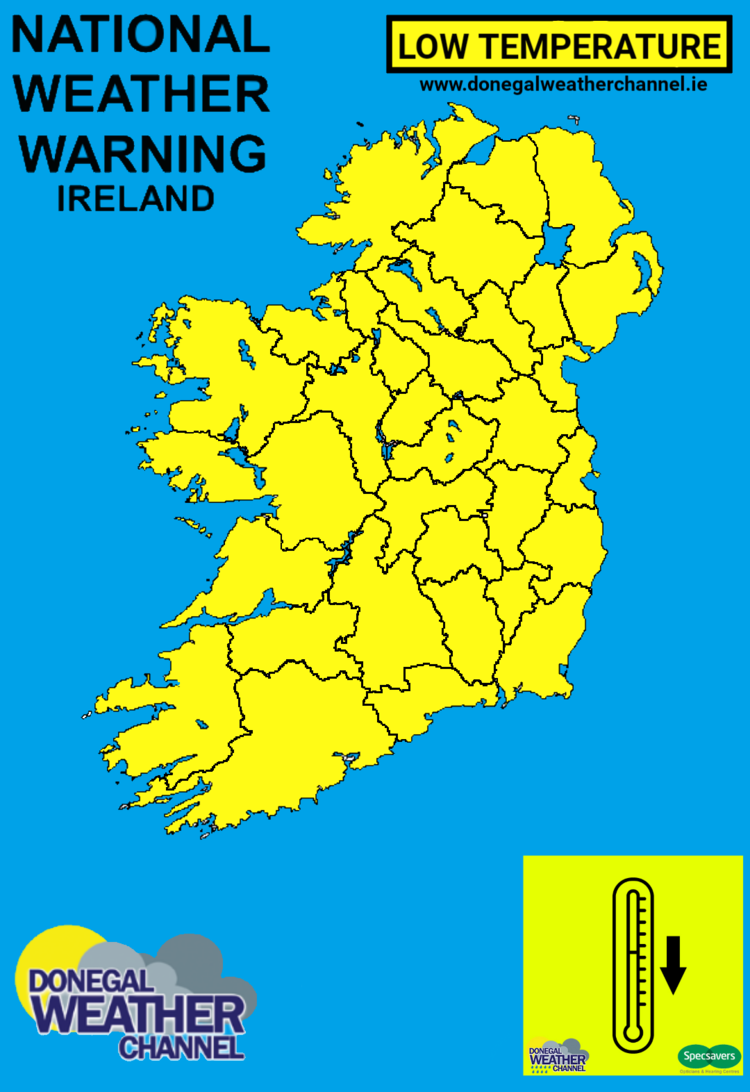
STATUS YELLOW - LOW TEMPERATURE/ICE WARNING FOR IRELAND
Met Éireann Weather Warning
Icy and very cold with lowest temperatures of -5 to -2 degrees Celsius generally, colder locally.
Valid: 19:00 Sunday 24/01/2021 to 10:00 Monday 25/01/2021
Issued: 11:00 Sunday 24/01/2021
YELLOW - ICE WARNING FOR ANTRIM, ARMAGH, DOWN, FERMANAGH, TYRONE, DERRY
UK Met Office Weather Warning
Icy stretches will likely cause some travel disruption.
Valid: 18:00 Sunday 24/01/2021 to 11:00 Monday 25/01/2021
Issued: 10:58 Sunday 24/01/2021
You can find all the latest weather warnings and forecasts by downloading our app from the google play store by clicking below

LATEST NEWS


