HEAVY RAINFALL AND STRONG WINDS WITH POSSIBLE SEVERE GUSTS TO EFFECT IRELAND NEXT WEEK
After a cooler and mostly dry week for most a more unsettled spell of weather and Atlantic regime will arrive again next week. Next week will see very heavy rainfall across the Ireland with above average rainfall amounts expected for everywhere by Friday. A spell of very wet and windy weather is expected on Wednesday arriving around am periods with the potential for severe and damaging gusts for parts of Ireland.
The current track of this area of low pressure has the center of the low moving into the southwest of Ireland and tracking up over eastern parts of Ireland with the strongest of the winds to the south, southeast and east of the low with not so windy weather to the northern and western flank of the low. Current signals are for the worst of the winds to be over Munster and Leinster at present especially across coastal areas where coastal flooding and damage will be highest. At present the exact track is not known and any shift in the center of the low would mean a different outcome.
If the low tracks further north then a wider area would be effected by strong winds. A track further southwards would keep the strongest of the winds out to sea. Details should become much clearer on Monday night and over the coarse of Tuesday when the appropriate warning will be issued if needed. There is the risk that winds on the southern and eastern side of the low could gust as high as 100km/hr to 130km/hr. I will update on this over the coming hours again.
Stormy conditions expected on Wednesday with strong and possible damaging gust likely
Continues below
Heavy rain will move in from the Atlantic after midnight Monday and spread across Ireland southwest to northeast in direction on Tuesday morning with the risk of spot flooding heavy falls will occur over the whole country with risk of spot flooding. Rain will clear to the northeast over Tuesday afternoon and over western areas later on Tuesday morning with another spell of heavy rain moving in from the Atlantic later Tuesday evening and overnight with the on going risk of spot flooding as it turns heavy across western and northern areas. Rain will continue in all areas until Wednesday afternoon when the strong winds should also abate around the same stage. Heaviest falls of rain will be across southwestern, western and northern parts next week. Another spell of rain then looks likely on Wednesday night into Thursday morning with the risk of spot flooding again with the heaviest falls looking likely across the southwest, west and northwest. Over next weekend the signals are for further falls of heavy rainfall on both Saturday and Sunday with another stormy episode possible at the end of the weekend into the following week. Make the most of Monday as it will be the best day out for the next 6 or 7 days.
Kenneth from the Donegal Weather Channel
Make sure to give this article a like on Facebook
2019 CALENDAR NOW ON SALE
2019 Calendar now on sale
You can now purchase the Donegal Weather Channel Calendar 2019. You can purchase the Calendar from the online store
All calendars will be posted out in the middle of November with only a limited amount available. Calendars can be purchased anywhere across the world.
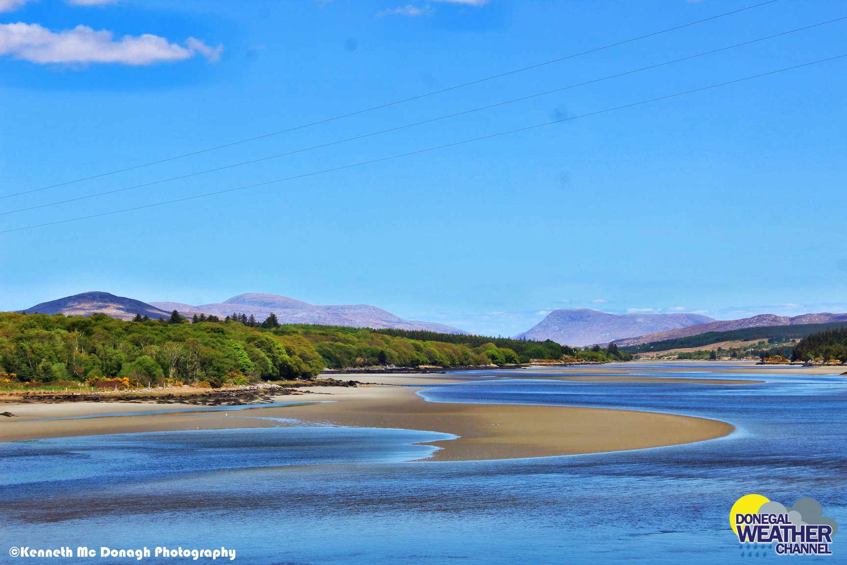
The stunning Leitir Mhic An Bhaird (Lettermacaward) Donegal during May 2018
Vivid Rainbow from up on Breezy mountain South Donegal
I was in Albufeira Portugal I was waiting for the full moon to come up and it did not let me down.
The orange and red tints that the Moon sometimes take on rising and setting are caused by the particles in the Earth's atmosphere. When light (or more specifically, packets of light called photons) from an astronomical object passes through the Earth's atmosphere, it scatters off of particles in the latter.
What a unbelievable night and morning out storm chasing, These number of thunderstorms had to be the best in years as most of the lightning was CG bolts. I even manage to captures Two to three CG bolts in one shot.
One of the most beautiful views of Slieve league From sea and got some nice photos.
Photos from this angle I have not seen yet and it was wonderful to finally capture that moment.


