STORM FLORENCE ABOUT TO MAKE LANDFALL IN THE SOUTHEASTERN USA - LATEST UPDATE
HURRICANE FLORENCE OF THE SOUTH EAST COAST OF THE UNITED STATES LAST NIGHT
GOESEast captured the sunrise over #HurricaneFlorence as the Category 2 storm continues to move closer to the coastline. The storm is currently located about 170 miles east-southeast of Wilmington, N.C. and moving northwest at 12 mph.
Although wind speeds have decreased to 110 mph, Florence is still expected to bring life-threatening storm surge flooding and catastrophic flash flooding.
LATEST UPDATE FROM THE NATIONAL HURRICANE CENTER
The satellite presentation of Florence has changed little overnight with the eye waxing and waning in infrared imagery. The eye has moved into NWS radar range and can be seen in radar data from Morehead City and Wilmington NWS 88-D imagery. An 0616 UTC AMSR2 microwave overpass indicated that the convection over the southern and southeastern portions of the storm is still disrupted, and that the eyewall was open to the southeast. An Air Force Hurricane Hunter aircraft also reported that the eyewall was not fully intact on its last pass through the storm just after that time. The Air Force plane measured a peak 700-mb flight level wind of 102 kt and peak SFMR winds of 85 kt during the mission. These data suggest that the intensity may be slightly lower, but the initial intensity has been maintained at 95 kt, since the plane may not have sampled the strongest winds. Another Air Force plane will be in Florence shortly, and should provide a better assessment of the intensity of the hurricane. As mentioned in the previous discussion, it appears that some southern shear has caused the degradation of the inner core. The global models suggest that this shear will relax today while Florence moves over warm
waters, however, given the current storm structure, little overall change in strength is anticipated as Florence approaches the coast. Gradual weakening should occur as the hurricane interacts with land in 24-36 h, with a faster rate of weakening predicted once Florence moves farther inland.
Florence is moving northwestward or 315 degrees at 13 kt. A developing mid-level ridge over the north-central United States should cause the forward speed of the hurricane to decrease today. As the steering currents collapse tonight and Friday, Florence is forecast to drift westward or west-southwestward and continue that slow motion into the weekend. The global models predict that the ridge will slide eastward over the weekend, which should allow Florence to turn northwestward and northward by the end of the forecast period. Although there is still some spread in the guidance by 48 hours, with the GFS along the northern side of the guidance envelope, and the ECWMF along the southern edge, the various consensus aids have moved little. As a result, the new NHC forecast track is very similar to the previous advisory.
Aircraft and satellite wind data show that Florence is a large hurricane. Life-threatening storm surge, heavy rainfall, and damaging wind will cover a large area regardless of exactly where the center of Florence moves.
Key Messages:
1. A life-threatening storm surge is now highly likely along portions of the coastlines of South Carolina and North Carolina, and a Storm Surge Warning is in effect for a portion of this area. All interests in these areas should complete preparations and follow any advice given by local officials.
2. Life-threatening, catastrophic flash flooding and prolonged significant river flooding are likely over portions of the Carolinas and the southern and central Appalachians late this week into early next week, as Florence is expected to slow down as it approaches the
coast and moves inland.
3. Damaging hurricane-force winds are likely along portions of the coasts of South Carolina and North Carolina, and a Hurricane Warning
is in effect. Strong winds could also spread inland into portions of the Carolinas.
4. Large swells affecting Bermuda, portions of the U.S. East Coast, and the northwestern and central Bahamas will continue this week, resulting in life-threatening surf and rip currents.
Kenneth from the Donegal Weather Channel
CHECK OUT OUR ONLINE STORE
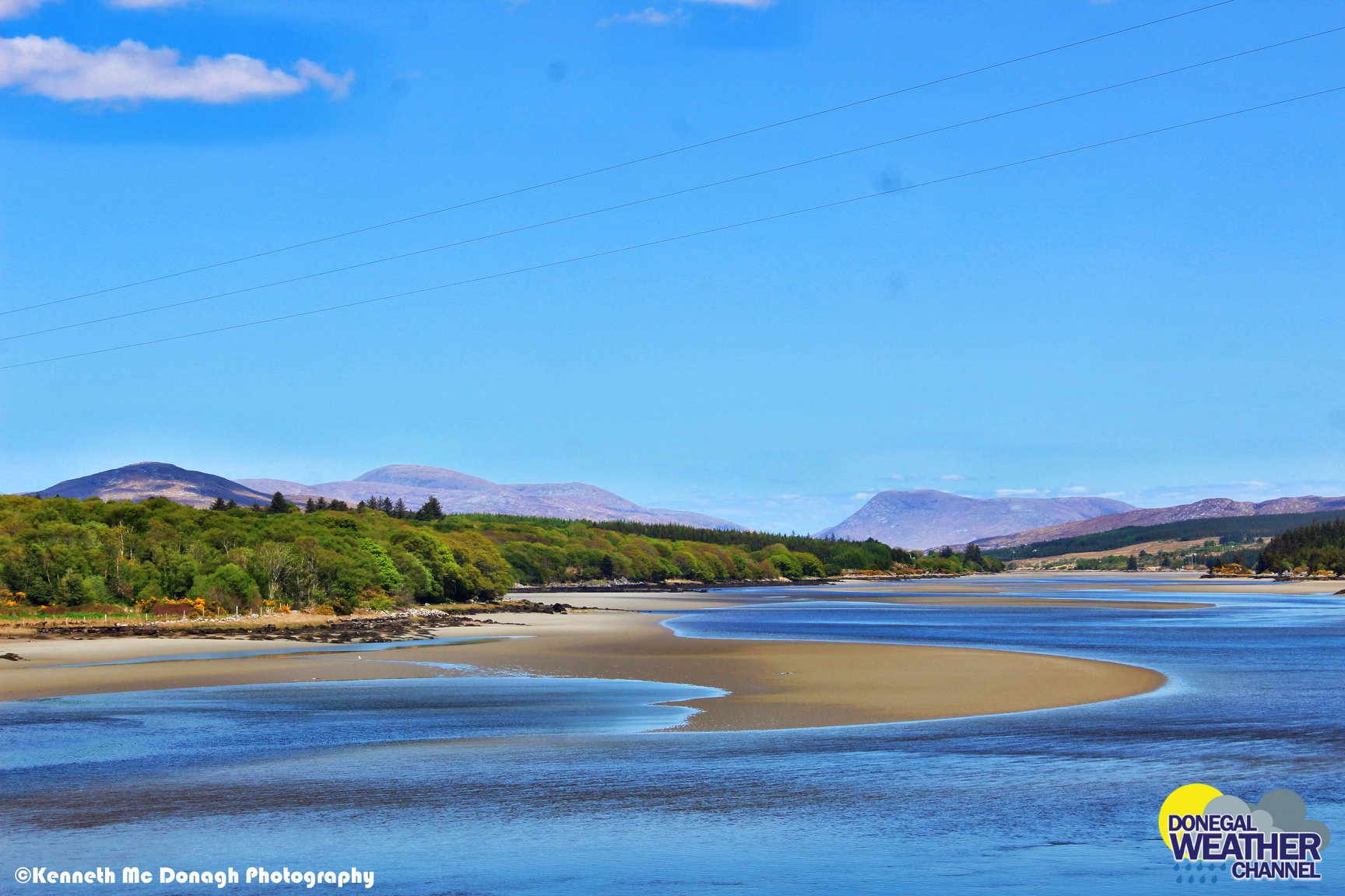
The stunning Leitir Mhic An Bhaird (Lettermacaward) Donegal during May 2018
This was a shot of a sunset i got back on May 2016 from Creevy Donegal Ireland while watching the sunset for over 2 hours.
I was in Albufeira Portugal I was waiting for the full moon to come up and it did not let me down.
The orange and red tints that the Moon sometimes take on rising and setting are caused by the particles in the Earth's atmosphere. When light (or more specifically, packets of light called photons) from an astronomical object passes through the Earth's atmosphere, it scatters off of particles in the latter.
What a unbelievable night and morning out storm chasing, These number of thunderstorms had to be the best in years as most of the lightning was CG bolts. I even manage to captures Two to three CG bolts in one shot.
One of the most beautiful views of Slieve league From sea and got some nice photos.
Photos from this angle I have not seen yet and it was wonderful to finally capture that moment.


