
TONIGHT'S STORM NAMED AS STORM HECTOR AND SET TO BATTER THE CONNACHT AND ULSTER


A orange weather warning for strong winds has been issued for Wednesday night and Thursday morning and this storm system has been named by Met Eireann as Storm Hector.
A small but strong are of low pressure will strengthen as it moves over the west and north of Ireland on Wednesday night into Thursday morning with strong wind of up to 80km/hr for a time and gust peaking at around 125km/hr.
The reason for the is area of low pressure is due to the jet stream moving back southwards this week with areas of low pressure moving in of the Atlantic.
The public are urged to avoid coastal walk ways, cliffs, headlands and piers due to very dangerous conditions.
Anyone with wheelie bins, trampolines or anything lose that can be picked up by the wind should tie it down or put away.
Continues below


This area of low pressure will also be accompanied by a spell of rain On Wednesday into the early hours of Thursday morning this heaviest over the Connacht and Ulster where some spot flooding may occur.

Rainfall at 4pm today

Rainfall at 8pm this evening
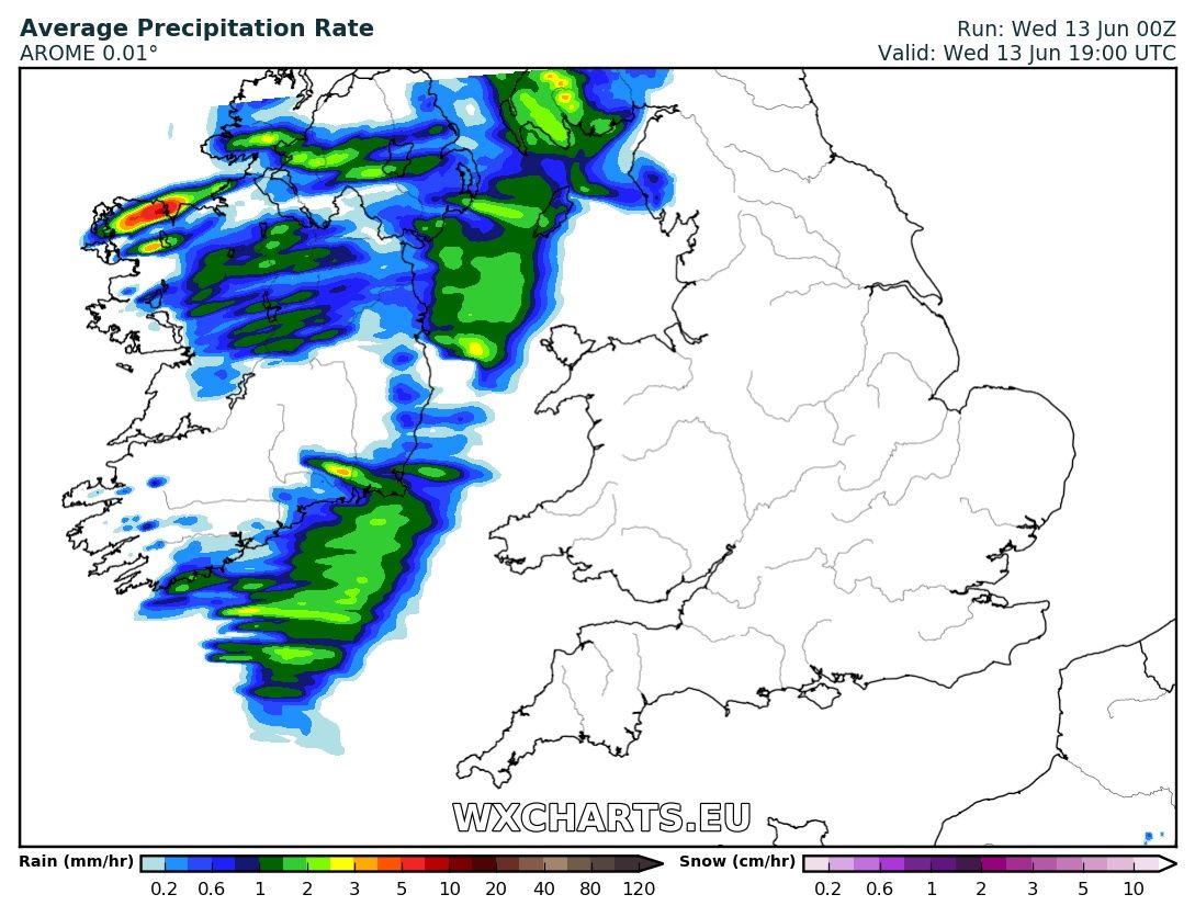
Rainfall at 4pm today

Rainfall at 9pm tonight

For the latest weather warning click the tab below